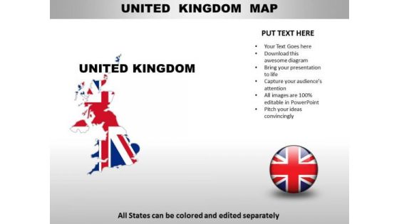
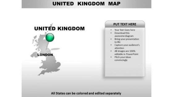
United kingdom powerpoint maps PowerPoint Presentation Templates and Google Slides
-
Political Map Of United Kingdom With Neighboring Countries Ppt PowerPoint Presentation Complete Deck With Slides
This complete deck acts as a great communication tool. It helps you in conveying your business message with personalized sets of graphics, icons etc. Comprising a set of twelve slides, this complete deck can help you persuade your audience. It also induces strategic thinking as it has been thoroughly researched and put together by our experts. Not only is it easily downloadable but also editable. The color, graphics, theme any component can be altered to fit your individual needs. So grab it now.
-
Country PowerPoint Maps United Kingdom
United Kingdom Country Powerpoint Maps-These high quality, editable powerpoint country maps have been carefully created by our professional team to display location and other geographic details in your PowerPoint presentation. Each map is vector based and is 100% editable in powerpoint. Each and every property of any region - color, size, shading etc can be modified to help you build an effective powerpoint presentation. Use these maps to show sales territories, business and new office locations, travel planning etc in your presentations. Any text can be entered at any point in the powerpoint map slide. Simply DOWNLOAD, TYPE and PRESENT!
-
United Kingdom Country PowerPoint Maps
United Kingdom Country Powerpoint Maps-These high quality, editable powerpoint country maps have been carefully created by our professional team to display location and other geographic details in your PowerPoint presentation. Each map is vector based and is 100% editable in powerpoint. Each and every property of any region - color, size, shading etc can be modified to help you build an effective powerpoint presentation. Use these maps to show sales territories, business and new office locations, travel planning etc in your presentations. Any text can be entered at any point in the powerpoint map slide. Simply DOWNLOAD, TYPE and PRESENT!
-
United Kingdom PowerPoint Maps
United Kingdom Country Powerpoint Maps-These high quality, editable powerpoint country maps have been carefully created by our professional team to display location and other geographic details in your PowerPoint presentation. Each map is vector based and is 100% editable in powerpoint. Each and every property of any region - color, size, shading etc can be modified to help you build an effective powerpoint presentation. Use these maps to show sales territories, business and new office locations, travel planning etc in your presentations. Any text can be entered at any point in the powerpoint map slide. Simply DOWNLOAD, TYPE and PRESENT!
-
United Kingdom Country Maps With National Flags Drawn Ppt PowerPoint Presentation Icon Rules PDF
Persuade your audience using this United Kingdom Country Maps With National Flags Drawn Ppt PowerPoint Presentation Icon Rules PDF. This PPT design covers four stages, thus making it a great tool to use. It also caters to a variety of topics including United Kingdom, Country Maps National, Flags Drawn. Download this PPT design now to present a convincing pitch that not only emphasizes the topic but also showcases your presentation skills.


