Countries boundaries PowerPoint Presentation Templates and Google Slides
-
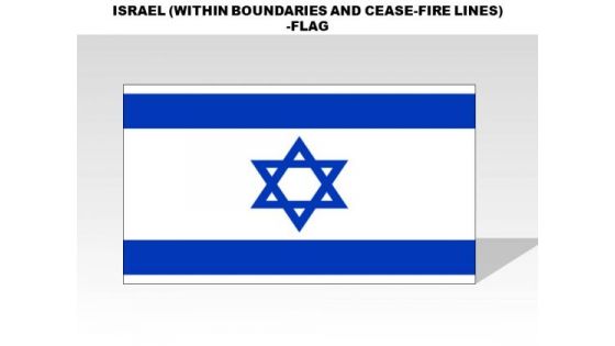
Israel Within Boundaries And Cease Fire Lines Country PowerPoint Flags
israel within boundaries and cease fire lines country powerpoint flags-These high quality, editable powerpoint country flags have been carefully created by our professional team to display location and other geographic details in your PowerPoint presentation. Each flag is vector based and is 100% editable in powerpoint. Each and every property of any region - color, size, shading etc can be modified to help you build an effective powerpoint presentation. Use these flags to show sales territories, business and new office locations, travel planning etc in your presentations. Any text can be entered at any point in the powerpoint flag slide. Simply DOWNLOAD, TYPE and PRESENT!
-
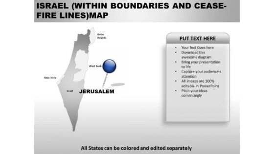
Israel Within Boundaries And Ceas Fire Lines Country PowerPoint Maps
Israel Within Boundaries And Ceas Fire Lines Country Powerpoint Maps-These high quality, editable powerpoint country maps have been carefully created by our professional team to display location and other geographic details in your PowerPoint presentation. Each map is vector based and is 100% editable in powerpoint. Each and every property of any region - color, size, shading etc can be modified to help you build an effective powerpoint presentation. Use these maps to show sales territories, business and new office locations, travel planning etc in your presentations. Any text can be entered at any point in the powerpoint map slide. Simply DOWNLOAD, TYPE and PRESENT!
-
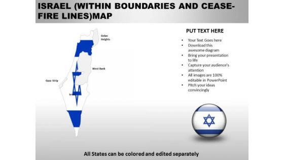
Country PowerPoint Maps Israel Within Boundaries And Ceas Fire Lines
Israel Within Boundaries And Ceas Fire Lines Country Powerpoint Maps-These high quality, editable powerpoint country maps have been carefully created by our professional team to display location and other geographic details in your PowerPoint presentation. Each map is vector based and is 100% editable in powerpoint. Each and every property of any region - color, size, shading etc can be modified to help you build an effective powerpoint presentation. Use these maps to show sales territories, business and new office locations, travel planning etc in your presentations. Any text can be entered at any point in the powerpoint map slide. Simply DOWNLOAD, TYPE and PRESENT!
-
Map Of Bangladesh Showing Country Boundaries Ppt PowerPoint Presentation File Vector PDF
Presenting map of bangladesh showing country boundaries ppt powerpoint presentation file vector pdf to dispense important information. This template comprises three stages. It also presents valuable insights into the topics including map of bangladesh showing country boundaries. This is a completely customizable PowerPoint theme that can be put to use immediately. So, download it and address the topic impactfully.
-
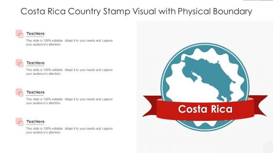
Costa Rica Country Stamp Visual With Physical Boundary Guidelines PDF
Showcasing this set of slides titled costa rica country stamp visual with physical boundary guidelines pdf. The topics addressed in these templates are costa rica country stamp visual with physical boundary. All the content presented in this PPT design is completely editable. Download it and make adjustments in color, background, font etc. as per your unique business setting.
-
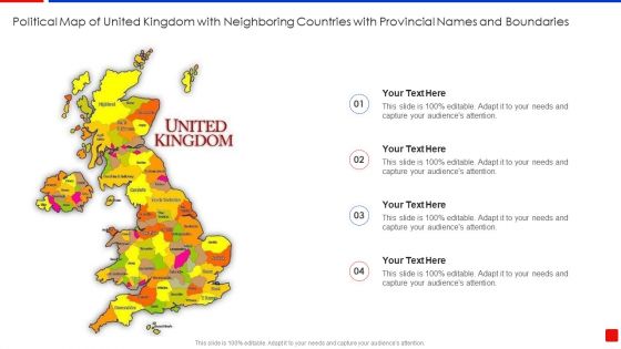
Different Countries Names With Boundaries In Political Map Of United Kingdom With Neighboring Countries Structure PDF
Presenting different countries names with boundaries in political map of united kingdom with neighboring countries structure pdf to dispense important information. This template comprises four stages. It also presents valuable insights into the topics including different countries names with boundaries in political map of united kingdom with neighboring countries. This is a completely customizable PowerPoint theme that can be put to use immediately. So, download it and address the topic impactfully.
-
Political Map Of United Kingdom With Neighboring Countries With Provincial Names And Boundaries Ideas PDF
Persuade your audience using this political map of united kingdom with neighboring countries with provincial names and boundaries ideas pdf. This PPT design covers four stages, thus making it a great tool to use. It also caters to a variety of topics including political map of united kingdom with neighboring countries with provincial names and boundaries. Download this PPT design now to present a convincing pitch that not only emphasizes the topic but also showcases your presentation skills.
-
Map Of South American With Countries Boundary Icons PDF
Presenting Map Of South American With Countries Boundary Icons PDF to dispense important information. This template comprises four stages. It also presents valuable insights into the topics including Map, South American, Countries Boundary. This is a completely customizable PowerPoint theme that can be put to use immediately. So, download it and address the topic impactfully.
-
Map Of Asia Pacific Region With Countries Boundaries Ppt Ideas Background Images PDF
Persuade your audience using this Map Of Asia Pacific Region With Countries Boundaries Ppt Ideas Background Images PDF. This PPT design covers three stages, thus making it a great tool to use. It also caters to a variety of topics including Map, Asia Pacific Region, Countries Boundaries. Download this PPT design now to present a convincing pitch that not only emphasizes the topic but also showcases your presentation skills.
-
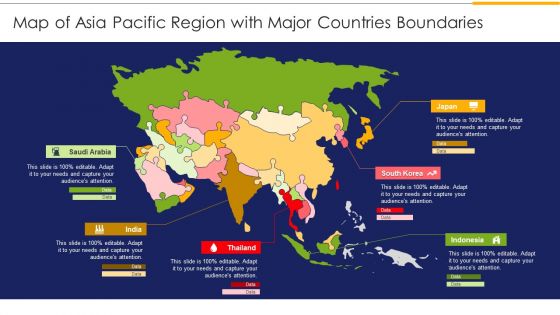
Map Of Asia Pacific Region With Major Countries Boundaries Ppt Slides Design Inspiration PDF
Persuade your audience using this Map Of Asia Pacific Region With Major Countries Boundaries Ppt Slides Design Inspiration PDF. This PPT design covers one stages, thus making it a great tool to use. It also caters to a variety of topics including Map, Asia Pacific Region, Major Countries Boundaries. Download this PPT design now to present a convincing pitch that not only emphasizes the topic but also showcases your presentation skills.

